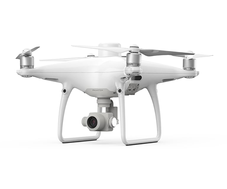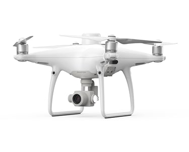
DJI Phantom 4 RTK
Platform / role: Compact, high-precision photogrammetry mapping drone (surveying / orthomosaic / precision agriculture mapping).
Camera / imaging: 1-inch 20 MP CMOS camera (same sensor as Phantom 4 Pro family), 24 mm equivalent lens, mechanical shutter, TimeSync for accurate geo-tagging.
Positioning / accuracy: Onboard RTK module yields centimeter-level image geotagging: RTK horizontal 1 cm + 1 ppm (manufacturer figure). DJI quotes photogrammetric absolute accuracy figures (depending on GCP usage and workflow — see DJI docs).
Typical GSD: DJI lists ~2.74 cm GSD at 100 m altitude (manufacturer reference).